
Solutions
designed for you
Welcome to Telemar, your trusted partner in maritime solutions. From tailored maintenance contracts ensuring smooth operations to cutting-edge navigation equipment and reliable communication systems, we've got you covered.
Explore our comprehensive range of services designed to enhance safety, efficiency, and performance at sea.
Introducing TWS
your database solution
TWS is our comprehensive ship database platform, empowering preventive maintenance strategies. It features an extensive equipment database for each vessel under our service, ensuring optimized maintenance schedules and efficient operations worldwide.
- Ship details
- Equipment tree
- Software versions of all NavCom devices on board
- Expiry data management with alarm function for our customers
- Management of the entire service history
- Customer access to their fleet
Maintenance
contracts
Telemar's maintenance contracts are instrumental in guaranteeing the seamless operation and dependability of navigation and communication systems across your fleet.
Crafted to align perfectly with your requirements, our contracts are customized to evolve alongside our services, ensuring optimal performance tailored to your needs.
SBM agreement
(Shore based maintenance)
SBM is stablished to maintain and service the GMDSS equipment. It is mandatory to have this certificate on board.
Maintenance agreement for annuals
They normally include GMDSS Radio survey, annual Gyro overhaul, annual performance test of VDR and the Certificate of Compliance (COC).
Full maintenance agreement
It includes all of the annuals and all service and maintenance calls for NavCom equipment including spare parts.
Customer benefits
- Predictable budgeting
- Reliability
- Proactive approach
- Single point of contact
- Modular contracts
- 24/7 support
Trustable
navigation solutions
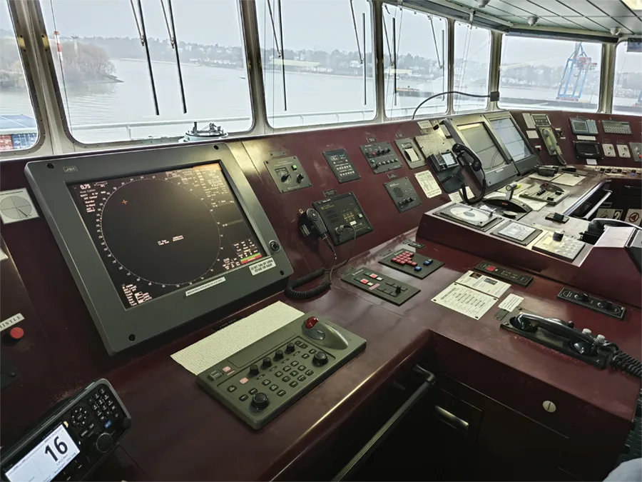
Explore Telemar's comprehensive range of navigational equipment. From radar systems to GPS navigation and everything in between, we're your trusted partner in ensuring safe and efficient voyages at sea.
Telemar represents the most valued manufacturers in the market and offers a variety of high-quality navigation equipment ensuring safe and efficient vessel operations.
Gyro & Magnetic Compass
Autopilot
Radar
Echosounder
Speedlogs
ECDIS
BNWAS
GPS (DGPS)
Reliable radio communication systems
We partner with top-tier manufacturers in the industry and offer a variety of high-quality communication systems.
They are meticulously crafted to enhance your and your crews safety, streamline coordination, and boost operational efficiency at sea. With our cutting-edge equipment by your side, you can navigate the waters with confidence, knowing that you have the tools to respond swiftly to any emergency situation.
VHF, UHF, MF/HF radios
AIS
Satellite communication Systems
GMDSS
EPIRBs , SARTs, portable radios
Remote support
Many services on board require better preparation or can be solved without sending a technician on board.
Want to know how?Discover more
solutions for you
Ready to discover what else Telemar has to offer? Click here to explore our range of innovative solutions tailored to meet your maritime needs.
Solutions overviewHave a question or need assistance?
Our team is full of experts, ready to help!
Fill out the form, and we'll get back to you as soon as possible.
Your satisfaction is our priority!
Talk to an expert
we're here to help
Simply fill out the form below, and our friendly team will get back to you promptly. We look forward to hearing from you!